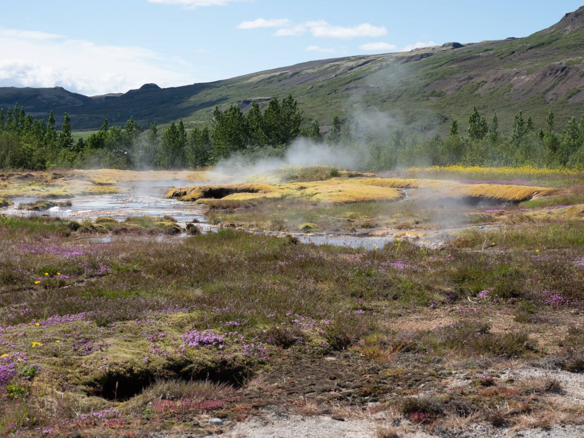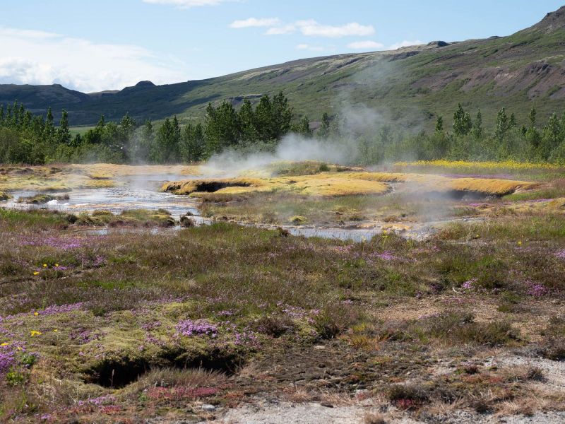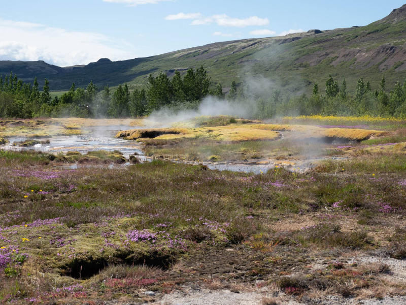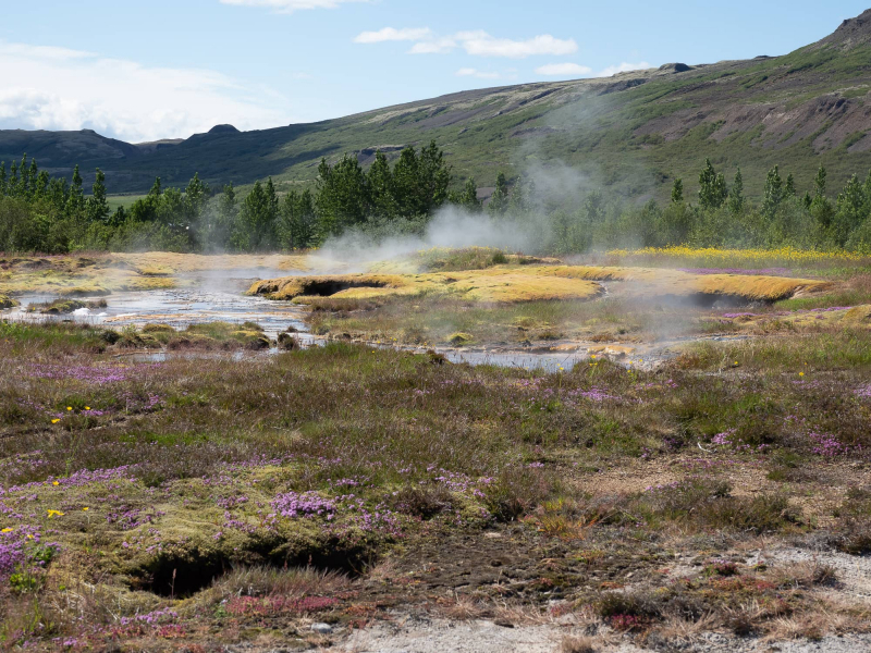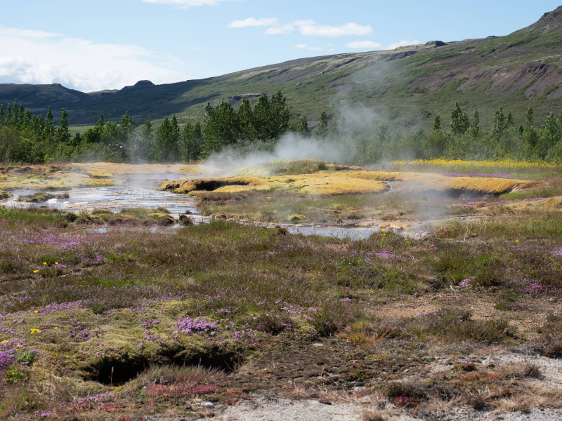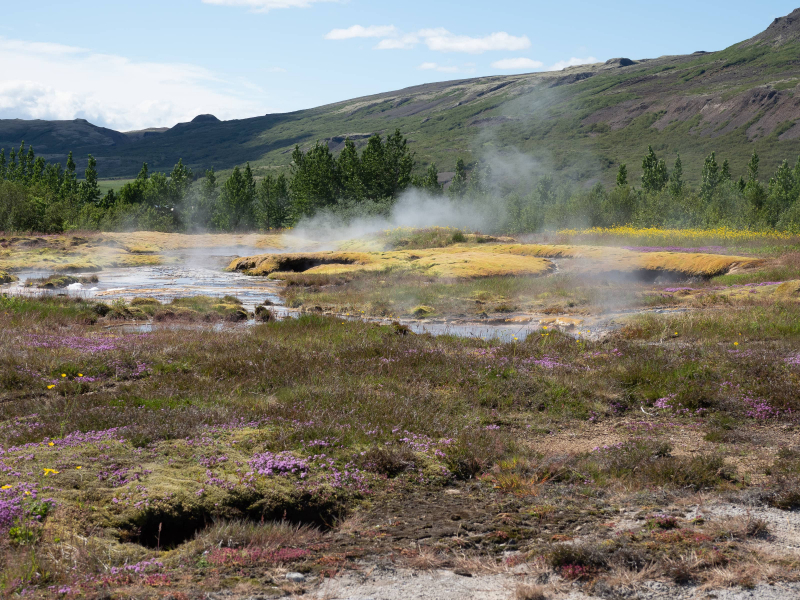
Campo de lava de Berserkjahraun - Islandia
Paisajes que parecen sacados de otro planeta. en la Peninsula de Snaefellsnes.

Icelandic Night
Northern Lights overlooking Kirkjufell

Folaldafoss waterfall
Folaldafoss waterfall in the East of Iceland which is clearly visible from road 939 (Öxi) and is also accessible for 2WD. Öxi is a mountain pass between Skriddalur and Berurfjordur. The road is rough and lies in curves and small bridges. On the way is much to see, waterfalls in all formats, high cliffs and well grown areas. When driving on road 1 at Berurfjordur you can’t miss road 939 which shortens the route to Egilsstadir.

West Side Story
It wasn’t the first time I’d stood here, but it was the first that I’d spent more than about four seconds squelching about on the marshy ground on the west side of Kirkjufell without being seen off by one of the local residents. Three years earlier, in my attempts to find out exactly where all of those beautiful reflection shots of this iconic mountain had been taken from, an irate Arctic Tern had wasted no time in telling me exactly what she thought of my unwelcome intrusion into a space she regarded as her own. As I stumbled about, she bore down upon me like a harpy, a shrieking flurry of wings, beak and claws. And while contact wasn’t made, she came close enough to leave me in no doubt as to her intentions. They’re not the largest birds you’ll meet here, but they might just be the fiercest when they’re feeling threatened. In my defence I hadn’t realised that there were likely to be busy nests around here, and I made a hasty exit in the direction of the van, where Lee had been awaiting the report from my reconnaissance mission on the marshes. My humiliation complete, and one furious feathered tactical missile returned to parenting duties, we made for the waterfalls on the southern side of the mountain, abandoning all thoughts of trying to take a shot here.
But now we were back, in September rather than July, and this being early autumn in these northerly reaches, there were no airborne assaults lying in wait as we began our first photographic mission of “Iceland Mark 2, The Return.” Or “Back in Iceland. This Time It’s Personal,” or whatever you want to call the sequel. The great irony is that by now we knew exactly where the reflection shots we’d seen from other photographers had been taken, and this wasn’t the spot. But we’d deal with that later. For now we wanted to explore this quiet space, less than a mile from the packed car park by the classic waterfall view, and revel in the fact that nobody was here except for ourselves. And those gracefully belligerent Arctic Terns, that had been such a ubiquitous part of the Iceland Mark 1 story, were nowhere to be seen. That’s all I can offer. If you were hoping for a lecture on where they go and when, I humbly apologise. I’m sure there are far more reliable sources on the topic. Actually I just had to stop writing to find out for myself. My goodness, they have the longest migration of all, spending their entire lives moving from the Arctic summer to the Antarctic summer, and then back again. Up to twenty-two thousand miles in an endless loop each year. A long way for a beak full of sand eels. There, I might yet make it onto Sir David Attenborough’s Christmas card list. No Puffins here in September either, just in case you were wondering.
I suppose like most mountains, Kirkjufell looks very different at every angle you care to view it from. From the classic position by the waterfalls it’s a particularly fine looking specimen and instantly recognisable. But from east or west it takes on a new form entirely, and though it remains easy to identify as you approach the area by road, I wonder whether that’s simply the anticipation factor at work and the knowledge of exactly where it is. After all, there are plenty of similar trapezoid shapes rising from the fjords around this part of Snæfellsnes. It only takes on that famously distinctive “Sorting Hat” appearance when viewed from the waterfalls and the lake. But we still felt it was worth exploring from the west side, and the marshes and river were offering some interesting foregrounds to work with. And to add to the mood we’d been blessed with some very dramatic clouds on this first afternoon, that hung in the sky like alien invaders, a gathering migration of a different kind. Eventually I found myself at the edge of the river, a pleasing curve in front of me that swept silently across the textured marsh.
During those first two days we photographed Kirkjufell from a number of angles, with a variety of foregrounds that showed that there’s far more to this place than the waterfall view we all know so well. Not that I don’t love that viewpoint, but next time I think I’d try moving further away again and seeing what the long lens offers. And if that happens to be in summer, further away will probably be better. I don’t want to risk the wrath of any more of those Arctic Terns. Next time one of them might just leave me staring into the heavens in bewilderment as they fly off carrying my hat and one half of my scalp in their talons. Which might spoil the trip entirely.

Tales of a Planning Obsessive
There are those who regard me as a man on a mission when it comes to planning adventures. Cycling, hiking and rowing trips have all been accompanied by a detailed itinerary of where we're staying each night, the distances between each overnight stop, the most likely looking pubs along the way, and an exhaustive kit list specific to the adventure. You don't need to carry spare inner tubes or wear a cycle helmet for a long distance rowing trip, and you won’t be wanting your hiking boots to pedal halfway across France either. That sort of thing. You will want your swimwear for a trip to Iceland by the way. Not for the sea of course - not unless your middle name is Poseidon, but there are plenty of opportunities to take to the waters with all of that geothermal gubbins going on beneath the unforgettable landscape.
For me the adventures all start with the planning and the anticipation, which can go on for months beforehand, with excited exchanges of information and all manner of unexpected gadgets being discovered on an almost daily basis. Who knew for example that you could turn an old beer can into a makeshift stove with a bit of cropping and some judiciously placed puncturing of holes? Pour in a splash of methylated spirits, light the blue touchpaper, and it’ll burn just long enough to boil a small kettle or cook a pan of noodles. When we triumphantly completed our first long distance hike in the Scottish Highlands, the walk itself just a week in length, it felt as if the journey had been much longer because of all the preparation that went beforehand. In fact the anticlimax of no longer having a big escapade in the wilderness to look forward to was something I hadn’t really anticipated, and Ali appeared to be considering whether to send me to a grief counsellor when it was all over. The only way forward was to start working on another one. A year later, four of us cycled across a generously sized chunk of France, pitching our tents in beautiful campsites along the way, following the canal path across Brittany to Nantes, and then the Loire Valley trail as far as Chinon before we ran out of time and had to return to work. One night we wild camped on the dry riverbed just outside Saumur and toasted giant mushrooms by the campside fire under the stars. Some things aren’t part of the plan, and the magic just unfolds by itself.
It's a bit like that with photography adventures. The preparations are slightly more relaxed in terms of getting a consensus on which locations are essential and which can be jettisoned if time is against us. But I still find myself avidly poring over maps at every available moment, measuring distances between the flags I've planted, looking at options for accommodation and reporting to my fellow travellers with increasing excitement as the big day gets ever closer. At the moment, I’m forever lost in daydreams over forthcoming photography adventures in the Outer Hebrides, Lofoten, the Iberian Peninsula and yes, you guessed it, Iceland again. None of them are in the diary just yet, but they’re never far from my mind.
As that first trip to Iceland approached, Lee had gently suggested that we keep the itinerary loose and travel either clockwise or anticlockwise according to how the weather forecast looked. Or maybe we should just head right across the south coast and retrace our steps back to Reykjavík at the end of the third day? To add to that, I'd appeared to have completely ignored the Golden Circle. It was a fair point. We'd never been anywhere quite like this before, and the climate is notoriously unpredictable, whatever the time of year. But fixed with a rigid certainty between these ears, Búðir was point 1, Kirkjufell was point 2, and so on all the way around to Skógafoss (point 13, in case you're trying to keep up). I'd even bought a copy of the Lonely Planet guide to the Ring Road.
Lee was driving the campervan as we left Reykjavík and I was on map duties, so all I needed to do was shrug innocently, instruct him to turn left and head for Borganes as we joined the ring road, and three hours later the black church of Búðir was the first object of our attention. From there, the rest would follow by default. I do love it when a plan comes together. Well if it worked for the A Team then I figured it would do for us. Although we raced past point 8. And we went whale watching in between points 4 and 5 at Húsavík, which was impulsive on the financial front as well as being distinctly off-piste. Now how did that happen I wonder?

Snæfellsnes
Iceland

Kirkjufell In The Storm
Mount Kirkjufell (463 m) is located in the west of Iceland. It is located near the town of Grundarfjörður on the western shore of the fjord of the same name, Grundarfjörður, in the north of the Snæfellsnes peninsula.
After heavy rain and storm, the sky finally broke open. Nevertheless, we had to crouch down again and again in order not to be swept off our feet by the hurricane-like gusts. It was great!
--
Der Berg Kirkjufell (463 m) liegt im Westen von Island. Er befindet sich nahe der Stadt Grundarfjörður am westlichen Ufer des gleichnamigen Fjordes Grundarfjörður im Norden der Halbinsel Snæfellsnes.
Nach Starkregen und Sturm brach schließlich der Himmel auf. Wir mussten uns dennoch immer wieder hinhocken, um von den orkanartigen Böen nicht von den Füßen gerissen zu werden. Es war toll!

Snæfellsnesvegur, Iceland
53025941084_307a652782_b

Into the night
Road to Grundarfjörður

Stone sculpture - half troll-half man Bárður Snæfellsás
the Protector of the Snæfellsnes peninsula......
I was already on my way back to the car from the coast when I wanted to capture this troll, which was quite a problem because you couldn't stand upright normally, a heavy storm force 8 prevented you from standing still. to make this shot...

The outer harbour
Grundarfjörður port

Lichen
52974932940_6248c86632_b

Skyrtunna
Snaeffelsnes

Folaldafoss waterfall
Folaldafoss waterfall in the East of Iceland which is clearly visible from road 939 (Öxi) and is also accessible for 2WD. Öxi is a mountain pass between Skriddalur and Berurfjordur. The road is rough and lies in curves and small bridges. On the way is much to see, waterfalls in all formats, high cliffs and well grown areas. When driving on road 1 at Berurfjordur you can’t miss road 939 which shortens the route to Egilsstadir.

Snæfellsjökull
52955564497_fc84262925_b

A road that leads to the church / Ingjaldshóll
Ingjaldshóll on the Snæfellsnes peninsula in West-Iceland is one of the historic sites in Iceland ....

Selvallavatn ViewPoint
See Selvallavatn am Tal Selvellir auf der Halbinsel Snæfellsnes. Vom gegenüberliegenden Ufer ragt eine Zunge aus Lavagestein in den See.
Panorama aus 5 Aufnahmen im Querformat.
Lake Selvallavatn by the Selvellir valley on the Snæfellsnes peninsula. A tongue of lava rock protrudes from the opposite bank.
I have merged 5 fotos for this picture.
Please don't use this image on websites, blogs or other media without my explicit permission. © All rights reserved
NO GROUP INVITES
¡No hay invitaciones de grupo!

Skyrtunna um kvöld
Mt Skyrtunna (left, 894 m) just before sunset

Ljósufjöll um kvöld
52912909578_a50df319d5_b

Búðakirkja
52911466514_cf825f50a2_b

Ljósufjöll
52910372211_96dee9903f_b

Reynisfjara Beach and "Eagle rock" basalt column
Scenic Icelandic landscape with Arnardrangur (Eagle rock) basalt sea stack on the Reynisfjara black volcanic sand beach near the village of Vík í Mýrdal, South Coast of Iceland, Scandinavia. Reynisdrangar basalt sea stacks are seen in background. Though the beach is stunning, be careful as rogue waves are common and the current is very strong. The reason for these monster waves and strong current? The only land south of Vík and Reynisfjara is Antarctica. That's a lot of unobstructed space for the Atlantic currents to travel before crashing into Iceland My 500 link 500px.com/yiannispavlis

Bjarnarhafnarfjall Ridge
52877651172_495ce3feb0_b

Mountain
52860755397_160963241f_b

Kirkjufellhdr_1353w
Kirkjufell mountain in Iceland.

Kirkjufell
52854567450_7024e53d23_b

The lonely house of Arnarstapi
Arnarstapi is a small fishing village at the foot of Mt. Stapafell between Hellnar village and Breiðavík farms on the southern side of Snæfellsnes The house is picturesquely situated on the rocky coast between Arnarstapi and Hellnar. My 500 link 500px.com/yiannispavlis

Snæfellsnes I
Iceland

Stykkishólmur af Gjafamúla
52819081712_10b13310e5_b
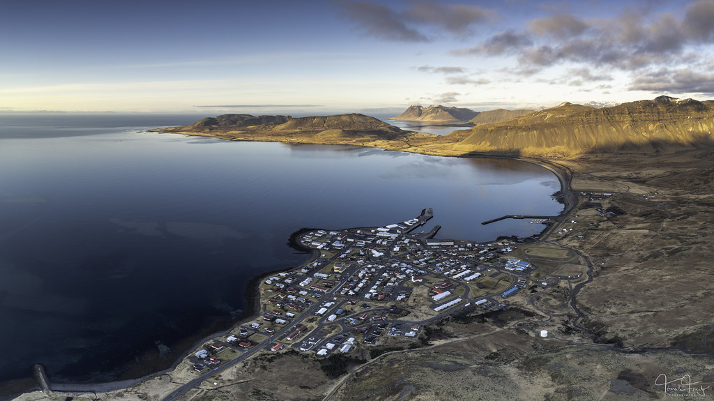
Springtime
Grundarfjörður

Lambahnúkur á Snæfellsnesi
52801338337_065071e768_b

Kolgrafarfjordur bridge
52801679284_22af864303_b

Snæfellsnes
Iceland

Snaefellsnes peninsula
ARNARSTAPI is a village in the southern part of the Snaefellsnes peninsula, Iceland.
The beach holds a particular attraction and its cliffs are absolutely amazing. The interplay of waves and the light of the sun creates a fascinating spectacle.
Large colonies of the arctic tern also nest in the area.
Iceland, March 2017.
500px
facebook
Instagram
E X P L O R E. : Apr 5, 2023 #10

Þumall
Þumall í Tvífossum í Ólafsvík

Saxhólsbjarg cliffs
Snæfellsnes peninsula, Iceland

Lóndrangar
Snæfellsnes , Iceland

Someone is watching you!
Near Arnastapi

Horft að Hellnum
52705200746_493b9dba89_b

Horft að Búðum
52703350956_2882e383c2_b

Sólsetur á Sandfelli
52657734793_1ec03f6da6_b

Bleikur
52655645908_b682627423_b

Tindur
52652606992_8ee45aa008_b

Skafl
52651133599_9a097d8c7b_b

Bjarg
Rhyolite rock in a scree at Mt. Ljósufjöll in W-Iceland. The rock here looks pinkish to beige in daylight, but moves towards golden at dusk.

_RAA4386-NEF_pr
Faszinierendes Island - im Westen - auf Snæfellsnes
Fascinating Iceland - in the west - on Snæfellsnes
View from Rauðfeldsgjá Gorge

A powerful start into the New Year
Happy New Year to all of you!
I hope 2023 will surprise us in a positive way.

Bárður is watching the northern lights
52573039774_3093057ccc_b

Kirkjufell
The Kirkjufell mountain, or also called the church mountain, is one of the volcanic highlights of Iceland. Although the mountain is 463 meters high, and is made by vulcanic stone, it isn't a volcano by itself. The Kirkjufell is something called a Nunatak, which means that it has been a mountain peak in a glacial surface. Due to the erosion of the melted glacier the mountain has now it's typical form. A form which we associate with the architectural structure of the churches we know.

Snæfellsnes - Kirkjufell
Kirkjufell is a 463 m high mountain on the north coast of Iceland's Snæfellsnes peninsula, near the town of Grundarfjörður. It is claimed to be the most photographed mountain in the country.
EOS R - Canon RF 16mm f/2.8 STM

Grundarfjörður
52513272944_e8b35cc1e8_b

Steinar
52489037771_eb0fd4a13d_b

Natural sculpture
52487078143_6fce116791_b

Bjarnarfoss
Bjarnarfoss is one of the tallest waterfalls in Iceland. It is translated to “Bear Waterfall,” but Iceland does not have native bear species. The name likely comes from a legend of a farmer named Bjarni or Björn, which also means bear. The farmer Björn lived near the waterfall and was very wealthy with abundant spices and gold. Björn also owned many cattle, which grazed on his land. During a winter blizzard, Björn was visited by a traveler seeking shelter from the cold. However, Björn was not hospitable and ultimately turned the visitor away. However, the visitor swore that Björn would regret this decision, and it would ultimately cost him more than he would imagine. During the following summer, Björn found all his cattle had died, while the other farmer’s cattle were healthy. Several other afflictions came upon Björn until he finally went crazy. The legend has it that he threw his money, gems, and spices into a hole below the waterfall. There is evidence of a farm being here in the past, and a silver coin was discovered at Bjarnarfoss. However, the coin was too weathered to determine its origin.
There is also the story of a fjallkona in Bjarnarfoss. Fjallkona means “lady of the mountain” and is the personification of Iceland as a woman. At Bjarnarfoss, it is said you can see this fjallkona as the water creates a veil over her shoulders and bosom.
I put my live on the line by climbing closer to her than wise and finally almost ventured my camera, because it is absolutely not waterproof. So could you please help me to find the exciting body of fjallkona ? Unfortunately couldn't keep it straight anymore at that site 🙂
Elmarit 24mm, ISO 800, 1/500sec.

Happy Halloween from Spooktacular Iceland
Black church at Búðir - Snæfellsnes Peninsula.The Buðir black church is one of 3 black churches in Iceland. The small church is black because the exterior wood is painted with pitch, just like the hull of a boat. This is to protect the church from the harsh Icelandic elements.
This works fairly well and buildings treated in this way have survived over 100 years which is a long time for a building to stand in Iceland.

Skýjaslæða
52460568045_f189973ce7_b

Grundarfjordur harbour at sunset
Grundarfjordur harbour at sunset. Iceland

Great cormorant - Dílaskarfur
The great cormorant, known as the black shag in New Zealand and formerly also known as the great black cormorant across the Northern Hemisphere
Canon EOS R7 - Sigma 150-600mm f/5-6.3 DG OS HSM Contemporary

Nordic Sunset at Sea
... One night we were heading towards this beautiful sunset leaving Reykjavik on boat behind us. After some dark clouds left us, the sky opened up and showed us the last sunshine of the bright icelandic evening, just before midnight.

Gráni
One of the peaks (1001 m) of the Ljósufjöll massif in W-Iceland, composed of rhyolite volcanic rock

Miðtindur
The highest peak (1063 m) of the massif Ljósufjöll in W-Iceland, composed mostly of rhyolite volcanic rock.

Djúpalónssandur & Dritvík
Djupalonssandur is a beautiful pebbled beach, with a series of rocks of mysterious form emerging from the ocean.
It is one of the few areas that lead down to the sea along this coast with its high dramatic cliffs. Watch out for the famous ghosts roaming the place!
The rests of a shipwreck can be seen on the beach. On the beach there are also big stones which people tried to lift and test their strength in the days of the fishing stations: Fully Strong 154 kg, Half-Strong 100 kg, Weakling 54 kg and Bungler 23 kg. Weakling marked the frontier of wimphood, any man who couldn't lift it was deemed unsuitable for a life as a fisherman. (west.is)
The Snæfellsnes Peninsula is a region in western Iceland known for its dramatic landscapes. At its western tip, Snæfellsjökull National Park is dominated by Snæfellsjökull Volcano, which is topped by a glacier. Nearby, a trail leads through lava fields to black-pebble beach
Canon EOS R7 - Canon RF 35mm F1.8 MACRO IS STM

Famous Kirkjufell mountain under the snow
Last year in Iceland

Arnarstapi
Arnarstapi or Stapi is a small fishing village at the foot of Mt. Stapafell between Hellnar village and Breiðavík farms on the southern side of Snæfellsnes, Iceland
The Snæfellsnes Peninsula is a region in western Iceland known for its dramatic landscapes. At its western tip, Snæfellsjökull National Park is dominated by Snæfellsjökull Volcano, which is topped by a glacier. Nearby, a trail leads through lava fields to black-pebble Djúpalónssandur Beach. In Stykkishólmur fishing village, the 19th-century wood-frame Norwegian House is a regional museum with a craft shop.
EOS R - Canon RF 16mm f/2.8 STM

Mýrarhyma
Snæfellsnes/ Iceland
Elmarit-M 24mm, 8 sec. Lee ND (Grad).

First Quarter
From the deck of the ferry, Baldur, steaming into Stykkishólmur, the First Quarter Moon rises to the south east over the Snæfellsnes Peninsular. Iceland.
Blue Hour, September 28, 2017.
Fuji XPRO-2, XF 55-200/3.5-4.8, 1/125th sec at f/8, ISO 100 ~128mm

Arnarstapi
Arnarstapi or Stapi is a small fishing village at the foot of Mt. Stapafell between Hellnar village and Breiðavík farms on the southern side of Snæfellsnes, Iceland
The Snæfellsnes Peninsula is a region in western Iceland known for its dramatic landscapes. At its western tip, Snæfellsjökull National Park is dominated by Snæfellsjökull Volcano, which is topped by a glacier. Nearby, a trail leads through lava fields to black-pebble Djúpalónssandur Beach. In Stykkishólmur fishing village, the 19th-century wood-frame Norwegian House is a regional museum with a craft shop.
EOS R - Canon RF 24-105mm f/4L IS USM

Skyrtunna í skýjum
Mt. Skyrtunna (894 m) in W-Iceland. To the left, in the distance are the mountains Tröllakirkja and Smjörhnúkar.

golden Kirkufellsfoss
Kirkjufellsfoss is now so overcrowded that I only take pictures there very early in the morning. Many people (also photographers) don't get out of bed early in the morning and so you are usually alone in this beautiful place an hour before sunrise. Even if the clouds promised a beautiful sunrise, these moments, when the indirect light illuminated the waterfall and made the river course shine, were the most beautiful

Hafursfell
Mt. Hafursfell (759 m) in W-Iceland, seen from the northwest

Ljósufjöll
Ljósufjöll (Bright mountains) are a mountain massif with several peaks in Snæfellsnes in W-Iceland. They are at the core of a volcanic system, that has produced 20+ eruptions since the end of the last ice age, 10.000 years ago. The last eruption happened just before 1000 AD, after Iceland was settled. The mountains are largely composed of rhyolite, a silicate-rich igneous rock, which explains the light colour, which explains the name. The highest peak, Miðtindur, is to the left in the photo, 1063 m above sea level. Reaching it requires a 9 km hike from the nearest road.

Botna-Skyrtunna (998 m)
Horft í norður af Miðtindi í Ljósufjöllum

Danish Prefect's House || Arnastapi
Arnastapi is a tiny picturesque fishing village on the south coast of the Snæfellsnes peninsula. The rain/wind meant that I couldn't fly the drone or even get to a lovely spot called stone bridge but the Danish Prefect's House from 1770 is a wonderful subject with the mountains in the background (if you could see them) and the eroded green stones in the foreground

Ljósufjöll
Mts. Ljósufjöll (Light Mountains) in W-Iceland, reflected in a small mountain tarn. The mountains are composed of mostly light-coloured rhyolite, at the centre of a volcanic system, that last produced an eruption some 1000 years ago. The highest peak is 1063 m above sea level.

Snæfellsjökull - Snæfellsnes, Iceland
Photo from Snæfellsnes peninsula in the west of Iceland, showing the 1446 meters high mountain Snæfellsjökull, with the glacier on top.
June 2022

Snæfellsjökull - Snæfellsnes, Iceland
Photo from Snæfellsnes peninsula in the west of Iceland, showing the 1446 meters high mountain Snæfellsjökull, with the glacier on top.
June 2022

The Black Church at Búðir, Snæfellsnes
Iceland, 2022

Hestur (620 m)
Mt. Hestur (on the right) on Snæfellsnes in W-Iceland

Colours of the land
Landscape just east of Mt. Snæfellsjökull, at the volcanic crater Kvíahnúkur. Tephra from the eruption has turned red by the oxidation of iron into hematite.

The other black church
christianscheidegger.one/islands-kirchen-und-kapellen/

The Black Church I (in explore 2022-09-01)
christianscheidegger.one/

Budakirkja - Búðir, Iceland
The black church of Búðir - Snæfellsnes, Iceland
June 2022

5 years ago
52320111383_854551e1f4_b

Ytri Tunga
Ytri Tunga is a beach by a farm of the same name on the Snæfellsnes Peninsula. Unlike many of the beaches in Iceland, Ytri Tunga has golden sand, rather than black.
Canon EOS R7 - Sigma 150-600mm f/5-6.3 DG OS HSM Contemporary

Sólsetur á Snæfellsnesi
52298483664_ae9e0d5164_b

Stapafell
Mt. Stapafell (526 m) on Snæfellsnes in W-Iceland, seen from the slopes of Kvíahnúkur

Lóndrangar
Coastline at the southern tip of the Snæfellsnes peninsula in W-Iceland, seen from afar. The iconic seastacks at Lóndrangar in silhouette left of centre.
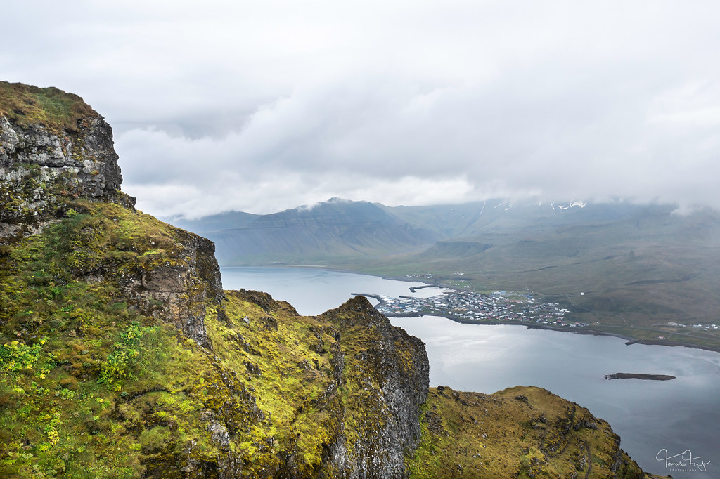
From Kirkjufell
Grundarfjörður

Ingjaldshólskirkja
Snæfellsnes
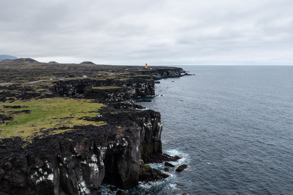
Black cliffs
Svörtuloft

Kirkjufellsfoss - Island
Kirkjufell - Snæfellsnes - Iceland
July 2022

Svømmesnipe - Red-necked phalarope
Photo from Hellissandur - Iceland
June 2022

Svømmesnipe - Red-necked phalarope
Photo from Hellissandur - Iceland
June 2022

on the road in western Iceland (Vesturland)
52221808148_cef761c8ee_b

Stone Bridge, Arnarstapi
52217798150_97fc8857e8_b

Snæfellsjökull
52215496114_30bf46420d_b

Eyrarsveit
52212363296_6e9c611f12_b

Kirkjufellsfoss - Island
Kirkjufell - Snæfellsnes - Iceland
June 2022

Súgandisey Lighthouse
Stykkishólmur, Snæfellsnes, Iceland


